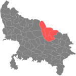
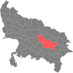
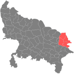
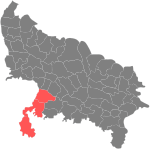
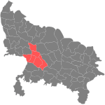
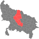
उत्तर प्रदेश के जिला सभ के लिस्ट

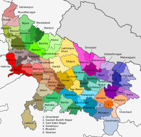
भारतीय राज्य उत्तर प्रदेश के जिला सभ एकर प्रशासनिक बिभाग हवें जिनहन के कुल संख्या 75 गो बाटे (साल 2016)।[1] जिला सभ से बड़ इकाई मंडल होला, मने कि पूरा प्रदेश के कई गो मंडल में बाँटल गइल बा आ हर मंडल में कई गो जिला बाड़ें। मंडल के प्रशानिक अधिकारी कमिश्नर होला जेकरा हिंदी में मंडलायुक्त कहल जाला।
जिला के प्रशासनिक मुखिया जिला कलेक्टर होला जेकर सहायता खातिर कई ठे डिप्टी कलक्टर लोग होला। कानून ब्यवस्था के जिम्मेवारी, जिला स्तर पर, पुलिस कप्तान (ऍसपी) के होला।
बनबिभाग के मुख्य अधिकारी, एह स्तर पर, जिला बन अधिकारी (डीऍफ़ओ) होलें।
एक ठो जिला के निचला बिभाजन भी होला। हर एक जिला के कई तहसील में बाँटल गइल बा आ फिर तहसील सभ के कई ब्लॉक (बिकासखंड भा प्रखंड में बाँटल गइल बाटे। जिला स्तर पर कचहरी होल आ जिला जज लोग होलें।
पंचायती राज ब्यवस्था में भी जिला एगो प्रमुख इकाई होला आ एक तरह से सभसे बड़ इकाई भी होला। पूरा राज्य के जिला स्तर पर जिला पंचायत सभ में बाँटल गइल बा, एकरे नीचे क्षेत्र पंचायत (ब्लॉक में) आ ग्राम पंचायत (गाँव स्तर पर) होखे लीं। जिला पंचायत के सदस्य लोग के चुनाव सीधे जनता करे ले आ ऊ लोग आपस में एगो जिला पंचायत अध्यक्ष चुने लें। एह ब्यवस्था के मुख्य काम जिला आ एकरे निचला स्तर पर बिकास के कामकाज के देखरेख होला।
| बिसयसूची |
|---|
|
मंडल अनुसार विभाजन |
अंग्रेजी अच्छर क्रम में
|
मंडल अनुसार विभाजन
[संपादन करीं]अंग्रेजी अच्छर क्रम में जिला सभ के लिस्ट
[संपादन करीं]| कोड[2] | जिला[3] | मुख्यालय | जनसंख्या[4] | दशकीय बढती[4] | लिंगानुपात[4] | साक्षरता[4] | घनत्व[4] | नक्सा |
|---|---|---|---|---|---|---|---|---|
| AN | अंबेडकर नगर जिला | अकबरपुर | 2,397,888 | 18.30% | 978 | 72.23% | 1020 | 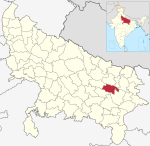 |
| JP | अमरोहा जिला | अमरोहा | 1,840,221 | 22.76% | 910 | 63.84% | 818 |  |
| अमेठी जिला | अमेठी |  | ||||||
| AL | अलीगढ़ जिला | अलीगढ़ | 3,673,889 | 22.78% | 882 | 67.52% | 1007 |  |
| AG | आगरा जिला | आगरा | 4,418,797 | 22.05% | 868 | 71.58% | 1093 |  |
| AZ | आजमगढ़ जिला | आजमगढ़ | 4,613,913 | 17.11% | 1019 | 70.93% | 1138 |  |
| EW | इटावा जिला | इटावा | 1,581,810 | 18.15% | 870 | 78.41% | 684 |  |
| PR | प्रयागराज जिला | प्रयागराज | 5,954,391 | 20.63% | 901 | 72.32% | 1086 |  |
| UN | उन्नाव जिला | उन्नाव | 3,108,367 | 15.11% | 907 | 66.37% | 682 | 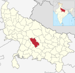 |
| ET | एटा जिला | एटा | 1,774,480 | 13.62% | 873 | 70.81% | 730 |  |
| AU | औरैया जिला | औरैया | 1,379,545 | 16.91% | 864 | 78.95% | 684 | 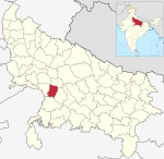 |
| KJ | कन्नौज जिला | कन्नौज | 1,656,616 | 19.27% | 879 | 72.70% | 792 | 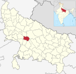 |
| कासगंज जिला | कासगंज | 1,436,719 | 16.93% | 880 | 61.02% | 735 |  | |
| KD | कानपुर देहात जिला | अकबरपुर | 1,796,184 | 14.89% | 865 | 75.78% | 595 | 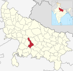 |
| KN | कानपुर नगर जिला | कानपुर | 4,581,268 | 9.92% | 862 | 79.65% | 1452 |  |
| KU | कुशीनगर जिला | पडरौना | 3,564,544 | 23.20% | 961 | 65.25% | 1227 |  |
| KS | कौशांबी जिला | मंझनपुर | 1,599,596 | 23.70% | 908 | 61.28% | 899 | 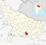 |
| GZ | गाज़ियाबाद जिला | गाज़ियाबाद | 4,681,645 | 42.27% | 881 | 78.07% | 3971 |  |
| GP | गाजीपुर जिला | गाजीपुर | 3,620,268 | 19.18% | 952 | 71.78% | 1072 | 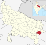 |
| GN | गोंडा जिला | गोंडा | 3,433,919 | 24.17% | 921 | 58.71% | 858 |  |
| GR | गोरखपुर जिला | गोरखपुर | 4,440,895 | 17.81% | 950 | 70.83% | 1337 |  |
| GB | गौतम बुद्ध नगर जिला | नोएडा | 1,648,115 | 37.11% | 851 | 80.12% | 1286 |  |
| CD | चंदौली जिला | चंदौली | 1,952,756 | 18.83% | 918 | 71.48% | 768 | 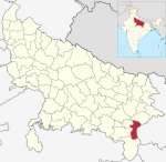 |
| CT | चित्रकूट जिला | चित्रकूट | 991,730 | 29.43% | 879 | 65.05% | 308 | 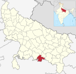 |
| जालौन जिला | जालौन | 1,689,974 | 16.19% | 865 | 73.75% | 370 |  | |
| JU | जौनपुर जिला | जौनपुर | 4,494,204 | 14.89% | 1024 | 71.55% | 1113 | 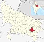 |
| JH | झांसी जिला | झांसी | 1,998,603 | 14.54% | 890 | 75.05% | 398 |  |
| DE | देवरिया जिला | देवरिया | 3,100,946 | 14.31% | 1017 | 71.13% | 1221 |  |
| PI | पीलीभीत जिला | पीलीभीत | 2,031,007 | 23.45% | 895 | 61.47% | 551 | 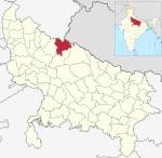 |
| PR | प्रतापगढ़ जिला | प्रतापगढ़ | 3,209,141 | 17.50% | 998 | 70.09% | 863 | 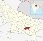 |
| FT | फतेहपुर जिला | फतेहपुर | 2,632,733 | 14.05% | 901 | 67.43% | 634 | 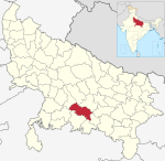 |
| FR | फर्रुखाबाद जिला | फतेहगढ़ | 1,885,204 | 20.05% | 874 | 69.04% | 864 |  |
| FI | फिरोजाबाद जिला | फिरोजाबाद | 2,498,156 | 21.69% | 875 | 71.92% | 1038 | 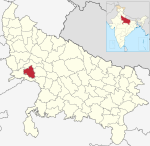 |
| AY | अयोध्या जिला | अयोध्या | 2,470,996 | 18.29% | 962 | 68.73% | 1056 |  |
| BD | बदायूं जिला | बदायूं | 3,681,896 | 19.95% | 871 | 51.29% | 712 |  |
| BR | बरेली जिला | बरेली | 4,448,359 | 22.93% | 887 | 58.49% | 1080 | 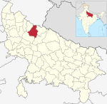 |
| BP | बलरामपुर जिला | बलरामपुर | 2,148,665 | 27.72% | 928 | 49.51% | 642 |  |
| BL | बलिया जिला | बलिया | 3,239,774 | 17.31% | 937 | 70.94% | 1087 | 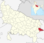 |
| BS | बस्ती जिला | बस्ती | 2,464,464 | 18.21% | 963 | 67.22% | 917 |  |
| BH | बहराइच जिला | बहराइच | 3,487,731 | 46.48% | 892 | 49.36% | 666 |  |
| BN | बांदा जिला | बांदा | 1,799,410 | 17.05% | 863 | 66.67% | 408 | 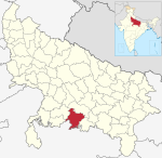 |
| बागपत जिला | बागपत | 1,303,048 | 11.95% | 861 | 72.01% | 986 |  | |
| BB | बाराबंकी जिला | बाराबंकी | 3,260,699 | 21.96% | 910 | 61.75% | 741 |  |
| BI | बिजनौर जिला | बिजनौर | 3,682,713 | 17.60% | 917 | 68.48% | 807 | 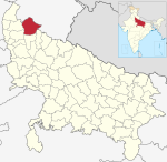 |
| BU | बुलंदशहर जिला | बुलंदशहर | 3,499,171 | 20.12% | 896 | 68.88% | 776 |  |
| MB | मऊ जिला | मऊ | 2,205,968 | 18.98% | 979 | 73.09% | 1288 |  |
| MT | मथुरा जिला | मथुरा | 2,547,184 | 22.78% | 863 | 70.36% | 763 |  |
| MG | महाराजगंज जिला | महाराजगंज | 2,684,703 | 23.50% | 943 | 62.76% | 909 |  |
| MH | महोबा जिला | महोबा | 875,958 | 23.64% | 878 | 65.27% | 279 | 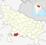 |
| MI | मिर्जापुर जिला | मिर्जापुर | 2,496,970 | 18.00% | 903 | 68.48% | 567 |  |
| MU | मुजफ्फरनगर जिला | मुजफ्फरनगर | 4,143,512 | 16.94% | 889 | 69.12% | 1034 |  |
| MO | मुरादाबाद जिला | मुरादाबाद | 4,772,006 | 25.22% | 906 | 56.77% | 1283 |  |
| ME | मेरठ जिला | मेरठ | 3,443,689 | 14.89% | 886 | 72.84% | 1346 |  |
| MP | मैनपुरी जिला | मैनपुरी | 1,868,529 | 17.02% | 881 | 75.99% | 677 | 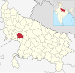 |
| RA | रामपुर जिला | रामपुर | 2,335,819 | 21.42% | 909 | 53.34% | 987 | 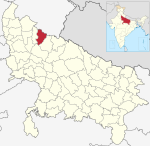 |
| RB | रायबरेली जिला | रायबरेली | 3,405,559 | 18.56% | 943 | 67.25% | 739 | 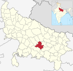 |
| LU | लखनऊ जिला | लखनऊ | 4,589,838 | 25.82% | 917 | 77.29% | 1816 |  |
| LK | लखीमपुर खीरी जिला | खीरी | 4,021,243 | 25.38% | 894 | 60.56% | 524 |  |
| LA | ललितपुर जिला | ललितपुर | 1,221,592 | 24.94% | 906 | 63.52% | 242 | 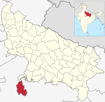 |
| VA | वाराणसी जिला | वाराणसी | 3,676,841 | 17.15% | 913 | 75.60% | 2395 |  |
| SH | शामली जिला | शामली |  | |||||
| SJ | शाहजहांपुर जिला | शाहजहांपुर | 3,006,538 | 18.00% | 872 | 59.54% | 685 |  |
| SV | श्रावस्ती जिला | श्रावस्ती | 1,117,361 | (-)5.02% | 881 | 46.74% | 681 |  |
| SK | संत कबीर नगर जिला | खलीलाबाद | 1,715,183 | 20.77% | 972 | 66.72% | 1042 |  |
| SR | संत रविदास नगर जिला | ज्ञानपुर | 1,578,213 | 16.58% | 955 | 68.97% | 1555 |  |
| SM | संभल जिला | सम्भल | 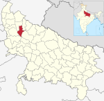 | |||||
| SA | सहारनपुर जिला | सहारनपुर | 3,466,382 | 19.66% | 890 | 70.49% | 940 |  |
| SN | सिद्धार्थनगर जिला | नवगढ़ | 2,559,297 | 25.45% | 976 | 59.25% | 884 |  |
| SI | सीतापुर जिला | सीतापुर | 4,483,992 | 23.88% | 888 | 61.12% | 781 |  |
| SU | सुल्तानपुर जिला | सुल्तानपुर | 3,797,117 | 18.11% | 983 | 69.27% | 856 |  |
| SO | सोनभद्र जिला | रोबेर्त्स्गंज | 1,862,559 | 27.27% | 918 | 64.03% | 270 |  |
| HM | हमीरपुर जिला | हमीरपुर | 1,104,285 | 5.80% | 861 | 68.77% | 275 |  |
| HR | हरदोई जिला | हरदोई | 4,092,845 | 20.44% | 868 | 64.57% | 684 | 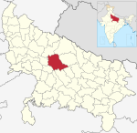 |
| HT | हाथरस जिला | हाथरस | 1,564,708 | 17.12% | 871 | 71.59% | 850 | 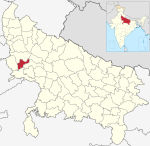 |
| HA | हापुड़ जिला | हापुड़ |  |
इहो देखल जाय
[संपादन करीं]संदर्भ
[संपादन करीं]- ↑ http://up.gov.in/upmap.aspx
- ↑ "NIC Policy on format of e-mail Address: Appendix (2): Districts Abbreviations as per ISO 3166-2" (PDF). Ministry Of Communications and Information Technology, Government of India. 18 August 2004. pp. 5–10. Retrieved 30 जनवरी 2009.
- ↑ "Districts : Uttar Pradesh". Government of India portal. Archived from the original on 2012-05-10. Retrieved 30 जनवरी 2009.
- ↑ 4.0 4.1 4.2 4.3 4.4 जनसंख्या २०११

