
चित्र:Papua New Guinea location map.svg

Size of this PNG preview of this SVG file: 800 × 481 पिक्सेल. अउरी रिजोल्यूशन: 320 × 192 पिक्सेल | 640 × 385 पिक्सेल | 1,024 × 615 पिक्सेल | 1,280 × 769 पिक्सेल | 2,560 × 1,538 पिक्सेल | 2,280 × 1,370 पिक्सेल.
ओरिजनल फाइल (एसवीजी फाइल, नॉमिनली 2,280 x 1,370 पिक्सल, फाइल के आकार: 501 KB)
सारांश
| बिबरण |
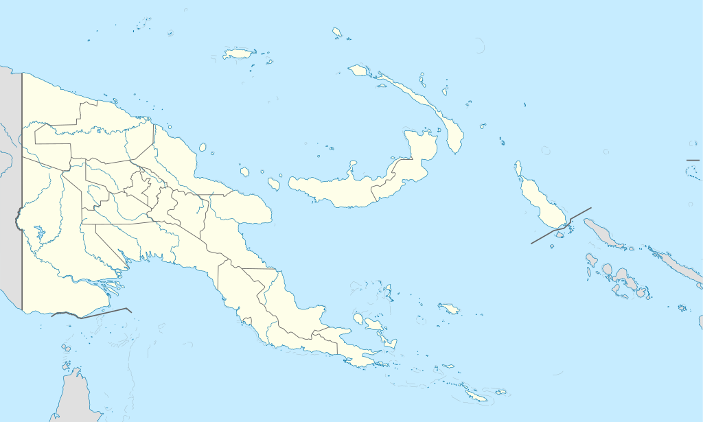
Deutsch: Positionskarte von Papua-Neuguinea
Quadratische Plattkarte. Geographische Begrenzung der Karte:
English: Location map of Papua New Guinea
Equirectangular projection. Geographic limits of the map:
|
| तारीख | 05-09-2008 |
| स्रोत |
own work, using
|
| लेखक | NordNordWest |
| Other versions |
|


|
This map has been made or improved in the German Kartenwerkstatt (Map Lab). You can propose maps to improve as well.
|
लाइसेंसिंग
I, the copyright holder of this work, hereby publish it under the following licenses:

|
जीएनयू फ्री डाकुमेंटेशन लाइसेंस, वर्जन 1.2 या फिर कौनो भी बाद के प्रकाशित फ्री साफ्टवेयर फाउंडेशन लाइसेंस के शर्त के तहत, एह डाकुमेंट के नकल करे, बितरण करे आ/भा बदलाव करे के परमीशन दिहल गइल बा; एह में इनवैरिएंट खंड सभ नइखे शामिल, मुखपृष्ट के पाठ नइखे शामिल, आ बैक-कभर के पाठ नइखे शामिल। लाइसेंस के एगो प्रति जीएनयू फ्री डाकुमेंटेशन लाइसेंस नाँव के खंड में दिहल गइल बा। |
ई फाइल Creative Commons Attribution-Share Alike 3.0 Unported लाइसेंस की तहत लाइसेंसी बा।
- आप फ्री बानी:
- साझा करे खातिर – रचना के नकल करे, बाँटे आ दुसरी जगह भेजे खातिर
- रीमिक्स करे खातिर – काम के अपनी हिसाब से बनावे खातिर
- नीचे दिहल कारणन की तहत:
- एट्रीब्यूशन – लाइसेंस के कड़ी दे के उचित श्रेय (क्रेडिट) दिहल जरूरी बा आ अगर कौनों बदलाव कइल गइल बा तब ओहू के बतावल जाए के चाहीं। आप ई काम कौनों उचित तरीका से क सकत बानी, बाकी ई न झलके के चाहीं की जेकरा लगे लाइसेंस बा ऊ राउर चाहे राउर काम के समर्थन करत बाटे या सही बतावत बा।
- शेयर अलाइक (share alike) – अगर आप एह सामग्री के आधार बना के कुछ रिमिक्स करत बानी, रूप बदलाव करत बानी, चाहे कुछ जोड़ के सामग्री के बढ़ावत बानी, आपके आपन योगदान ठीक एही या कंपेटिबल लाइसेंस जइसन कि ओरिजनल बाटे, के तहत होखे के चाहीं।
रउआँ अपनी जरूरत के लाइसेंस बीछ सकत बानीं।
फाइल के इतिहास
ओ समय ई फाइल कइसन लउके ई देखे खातिर कौनों तारीख/समय पर क्लिक करीं।
| तारीख/समय | चिप्पी रूप | डाइमेंशन | प्रयोगकर्ता | टिप्पणी | |
|---|---|---|---|---|---|
| वर्तमान | 15:48, 5 जून 2012 | | 2,280 × 1,370 (501 KB) | NordNordWest | upd |
| 07:49, 26 मई 2011 |  | 2,280 × 1,370 (767 KB) | NordNordWest | Reverted to version as of 19:42, 8 December 2009 no need to revert | |
| 23:00, 25 मई 2011 |  | 2,280 × 1,370 (674 KB) | AlexR.L. | Reverted to version as of 19:51, 5 September 2008 | |
| 19:42, 8 दिसंबर 2009 |  | 2,280 × 1,370 (767 KB) | NordNordWest | + rivers | |
| 19:51, 5 सितंबर 2008 |  | 2,280 × 1,370 (674 KB) | NordNordWest | {{Information |Description= {{de|Positionskarte von Papua-Neuguinea}} Quadratische Plattkarte. Geographische Begrenzung der Karte: * N: 0.6° S * S: 12.2° S * W: 140.4° O * O: 159.7° O {{en|Location map of [[:en:Papua New Guinea |
फाइल के उपयोग
कौनों पन्ना नइखे जवन ए फाइल के इस्तेमाल करत होखे।
बैस्विक फाइल उपयोग
नीचे दिहल अउरी विकिसभ पर एह फाइल के इस्तेमाल हो रहल बा:
- af.wikipedia.org पर इस्तेमाल
- als.wikipedia.org पर इस्तेमाल
- Vorlage:Positionskarte Papua-Neuguinea
- Port Moresby
- Bismarck-Archipel
- Neubritannien
- Duke-of-York-Inseln
- Admiralitäts-Inseln
- D’Entrecasteaux-Inseln
- Lavongai
- Westliche Inseln
- Feni-Inseln
- Lihir-Inseln
- Tabar-Inseln
- Tanga-Inseln
- St.-Matthias-Inseln
- Vitu-Inseln
- Neuirland
- Louisiade-Archipel
- Marshall-Bennett-Inseln
- Woodlark-Insel
- Trobriand-Inseln
- Mount Wilhelm
- an.wikipedia.org पर इस्तेमाल
- ar.wikipedia.org पर इस्तेमाल
- ast.wikipedia.org पर इस्तेमाल
- Puertu Moresbi
- Nueva Bretaña
- Montes Herzog
- Archipiélagu Bismarck
- Islles del Duque de York
- Tabubil
- Islla Daru
- Estrechu de Dampier
- Islles del Almirantalgu
- Monte Lamington
- Archipiélagu de les Lluisiaes
- Aeropuertu Internacional de Jacksons
- Aeropuertu de Guasopa
- Puertu de Dreger
- Módulu:Mapa de llocalización/datos/Papúa Nueva Guinea
- Módulu:Mapa de llocalización/datos/Papúa Nueva Guinea/usu
- Islles d'Entrecasteaux
- Provincia de Nueva Bretaña Occidental
- Islles Trobriand
- Kitava
- Vakuta
एह फाइल के अउरी बैस्विक इस्तेमाल देखीं