
चित्र:NATO and the Warsaw Pact 1973.svg

Size of this PNG preview of this SVG file: 450 × 456 पिक्सेल. अउरी रिजोल्यूशन: 237 × 240 पिक्सेल | 474 × 480 पिक्सेल | 758 × 768 पिक्सेल | 1,011 × 1,024 पिक्सेल | 2,021 × 2,048 पिक्सेल.
ओरिजनल फाइल (एसवीजी फाइल, नॉमिनली 450 x 456 पिक्सल, फाइल के आकार: 478 KB)
सारांश


.svg)
.svg)
.svg)
.svg)
.svg)


.svg)
.svg)
.svg)


.png)
.png)


.svg)


.svg)

.svg)


.svg)
.svg)
.svg)
.svg)


.svg)
.png)


.svg)


.svg)
.svg)


.svg)


.svg)


.svg)
.svg)
.svg)
.svg)
.svg)
.svg)
.svg)
_cropped.svg)
.svg)
.svg)
.svg)
.svg)
.svg)
.svg)
.svg)
.svg)
.svg)
.svg)
.svg)
.svg)
.svg)
.svg)
.svg)
.svg)
.svg)
.svg)
.svg)
.svg)
.svg)
.svg)
.svg)
.svg)
.svg)
.svg)
.svg)
.svg)
.svg)
.svg)
.svg)
.svg)
.svg)
.svg)
.svg)
.svg)
.svg)
.svg)
.svg)
.svg)
.svg)
.svg)
.svg)
.svg)
.svg)
लाइसेंसिंग
I, the copyright holder of this work, hereby publish it under the following license:
ई फाइल Creative Commons Attribution-Share Alike 3.0 Unported लाइसेंस की तहत लाइसेंसी बा।
- आप फ्री बानी:
- साझा करे खातिर – रचना के नकल करे, बाँटे आ दुसरी जगह भेजे खातिर
- रीमिक्स करे खातिर – काम के अपनी हिसाब से बनावे खातिर
- नीचे दिहल कारणन की तहत:
- एट्रीब्यूशन – लाइसेंस के कड़ी दे के उचित श्रेय (क्रेडिट) दिहल जरूरी बा आ अगर कौनों बदलाव कइल गइल बा तब ओहू के बतावल जाए के चाहीं। आप ई काम कौनों उचित तरीका से क सकत बानी, बाकी ई न झलके के चाहीं की जेकरा लगे लाइसेंस बा ऊ राउर चाहे राउर काम के समर्थन करत बाटे या सही बतावत बा।
- शेयर अलाइक (share alike) – अगर आप एह सामग्री के आधार बना के कुछ रिमिक्स करत बानी, रूप बदलाव करत बानी, चाहे कुछ जोड़ के सामग्री के बढ़ावत बानी, आपके आपन योगदान ठीक एही या कंपेटिबल लाइसेंस जइसन कि ओरिजनल बाटे, के तहत होखे के चाहीं।
Original upload log
This image is a derivative work of the following images:
- File:Blank_map_of_Europe_1956-1990.svg licensed with Cc-by-sa-3.0
- 2011-10-30T04:43:42Z Alphathon 450x456 (485146 Bytes) == {{int:filedesc}} == {{Information |Description={{en|Blank map of Europe showing national borders as they stood from 1956-1990.}} |Source=*[[:File:Blank_map_of_Europe.svg|]] |Date=2011-10-30 04:42 (UTC) |Author=*[[:File:Bla
Uploaded with derivativeFX
फाइल के इतिहास
ओ समय ई फाइल कइसन लउके ई देखे खातिर कौनों तारीख/समय पर क्लिक करीं।
| तारीख/समय | चिप्पी रूप | डाइमेंशन | प्रयोगकर्ता | टिप्पणी | |
|---|---|---|---|---|---|
| वर्तमान | 09:17, 22 जुलाई 2022 | | 450 × 456 (478 KB) | Kwamikagami | change to NATO blue; Liecht. not a member |
| 06:43, 30 जून 2016 |  | 450 × 456 (477 KB) | FreshCorp619 | Reverted to version as of 18:32, 25 February 2012 (UTC) | |
| 06:42, 30 जून 2016 |  | 450 × 456 (728 KB) | FreshCorp619 | fixed errors | |
| 06:38, 30 जून 2016 |  | 450 × 456 (707 KB) | FreshCorp619 | Added Byelorussian and Ukrainian SSRs (UN Members) | |
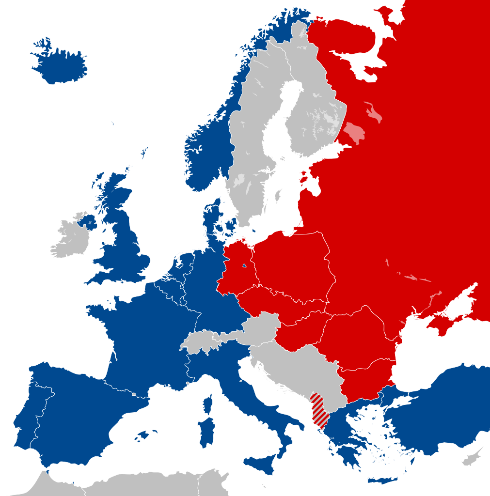
| 18:32, 25 फरवरी 2012 |  | 450 × 456 (477 KB) | Alphathon | == {{int:filedesc}} == {{Information |Description={{en|Map of Europe showing NATO and the Warsaw Pact circa 1973.}} |Source={{Derived from|Blank_map_of_Europe_1956-1990.svg|display=50}} |Date=2012-02-25 18:31 (UTC) |Aut... |
फाइल के उपयोग
कौनों पन्ना नइखे जवन ए फाइल के इस्तेमाल करत होखे।
बैस्विक फाइल उपयोग
नीचे दिहल अउरी विकिसभ पर एह फाइल के इस्तेमाल हो रहल बा:
- als.wikipedia.org पर इस्तेमाल
- ar.wikipedia.org पर इस्तेमाल
- ca.wikipedia.org पर इस्तेमाल
- Unió de Repúbliques Socialistes Soviètiques
- República Democràtica Alemanya
- República Socialista Federativa Soviètica de Rússia
- República Federal Socialista de Iugoslàvia
- Pacte de Varsòvia
- Consell d'Assistència Econòmica Mútua
- Bloc de l'Est
- República Popular d'Albània
- República Socialista de Romania
- República Democràtica de Finlàndia
- Història de la Unió Soviètica (1985-1991)
- Història de la Unió Soviètica (1953-1985)
- República Popular de Polònia
- Plantilla:Europa Oriental Comunista
- Història de la Unió Soviètica i la Rússia Soviètica (1917-1927)
- Economia de la Unió Soviètica
- Doctrina Bréjnev
- República Popular d'Hongria
- República Popular de Bulgària
- República Socialista Txecoslovaca
- Ampliació de la Unió Europea de 2004
- de.wikipedia.org पर इस्तेमाल
- el.wikipedia.org पर इस्तेमाल
- en.wikipedia.org पर इस्तेमाल
- History of the Soviet Union (1982–1991)
- East Germany
- Warsaw Pact
- History of Soviet Russia and the Soviet Union (1917–1927)
- Byelorussian Soviet Socialist Republic
- History of the Soviet Union (1953–1964)
- Socialist Republic of Romania
- Democratic Federal Yugoslavia
- Socialist Federal Republic of Yugoslavia
- Polish People's Republic
- Ukrainian Soviet Socialist Republic
- History of Czechoslovakia (1948–1989)
- History of the Soviet Union (1927–1953)
- History of Poland (1945–1989)
- Czechoslovak Socialist Republic
- Template:Communist Eastern and Central Europe
- People's Republic of Bulgaria
- Hungarian People's Republic
- History of East Germany
- People's Socialist Republic of Albania
- History of the Soviet Union (1964–1982)
- User:Peterstrempel/Soviet-Brezhnev-draft
- History of the Soviet Union
- History of NATO
- User:Y-S.Ko/Wikipedia course/History
एह फाइल के अउरी बैस्विक इस्तेमाल देखीं