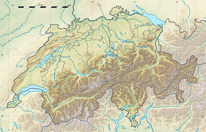
चित्र:Switzerland relief location map.jpg

ए नमूना के साइज: 800 × 513 पिक्सेल. अउरी रिजोल्यूशन: 320 × 205 पिक्सेल | 640 × 410 पिक्सेल | 1,024 × 657 पिक्सेल | 1,349 × 865 पिक्सेल.
ओरिजनल फाइल (1,349 × 865 पिक्सेल, फाइल साइज: 602 KB, MIME टाइप: image/jpeg)
फाइल के इतिहास
ओ समय ई फाइल कइसन लउके ई देखे खातिर कौनों तारीख/समय पर क्लिक करीं।
| तारीख/समय | चिप्पी रूप | डाइमेंशन | प्रयोगकर्ता | टिप्पणी | |
|---|---|---|---|---|---|
| वर्तमान | 21:04, 17 दिसंबर 2017 |  | 1,349 × 865 (602 KB) | Reinhard Kraasch | Verlauf des Doubs korrigiert / Doubs River course retouched |
| 13:28, 19 जुलाई 2010 |  | 1,349 × 865 (439 KB) | Sting | Color profile | |
| 14:27, 4 दिसंबर 2009 |  | 1,349 × 865 (456 KB) | Sting | == {{int:filedesc}} == {{Location|46|49|30|N|8|15|00|E|scale:1000000}} <br/> {{Information |Description={{de|Relief Positionskarte der Schweiz.}} {{en|Blank physical map of Switzerland, for geo-location purpose.}} {{fr| |
फाइल के उपयोग
फाइल के इस्तेमाल 4 पन्ना करत बाड़ें:
बैस्विक फाइल उपयोग
नीचे दिहल अउरी विकिसभ पर एह फाइल के इस्तेमाल हो रहल बा:
- als.wikipedia.org पर इस्तेमाल
- Langensee
- Gotthardpass
- Rheinwaldhorn
- Pfäffikersee
- Sarnersee
- Etzel (Berg)
- Höhronen (Berg)
- Sattel (Pass)
- Churfirsten
- Säntis
- Wohlensee
- Ruine Rifenstein
- Wartenberg (Muttenz)
- Lägern
- Schloss Lenzburg
- Uetliberg
- Schloss Chillon
- Schloss Bottmingen
- Schloss Pratteln
- Ruine Madeln
- Burg Kropfenstein
- Vorlage:Positionskarte Schweiz
- Schloss Klingnau
- Ruine Iberg
- Ruine Besserstein
- Rengg
- Schloss Rümligen
- Pilatus
- Festung Aarburg
- Dufourspitze
- Schloss Schwarzwasserstelz
- Schloss Stein
- Schloss Uster
- Stausee Wettingen
- Grosser St. Bernhard
- Malojapass
- Splügenpass
- Matterhorn
- Schwendisee
- Morgenberghorn
- Ruine Schenkenberg
- Schloss Auenstein
- Schloss Kasteln
- Siggenberg
- Chestenberg
- Bruggerberg
- Wartenberg-Ruinen
- Scheidegg (Tecknau)
- Ruine Münchenstein
- Ruine Farnsburg
एह फाइल के अउरी बैस्विक इस्तेमाल देखीं


