
चित्र:Kyrgyzstan adm location map.svg

ओरिजनल फाइल (एसवीजी फाइल, नॉमिनली 1,644 x 829 पिक्सल, फाइल के आकार: 212 KB)
सारांश
| बिबरण |
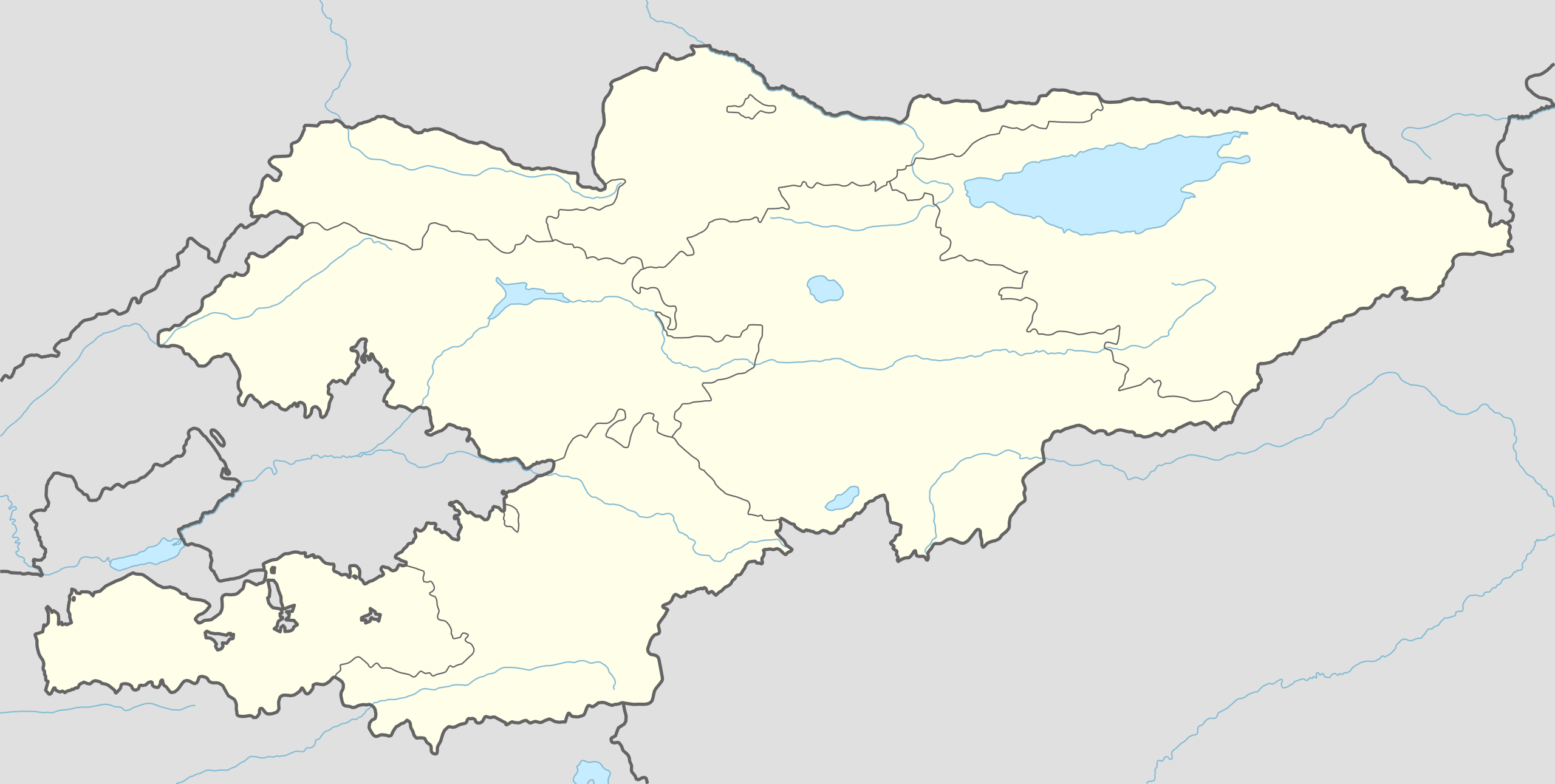
Deutsch: Positionskarte von Kirgisistan
English: Location map of Kyrgyzstan
|
||||||||||||
| तारीख | |||||||||||||
| स्रोत |
Own work using:
|
||||||||||||
| लेखक | NordNordWest | ||||||||||||

|
This map has been made or improved in the German Kartenwerkstatt (Map Lab). You can propose maps to improve as well.
|
लाइसेंसिंग
Usage of this file with:

explanatory notes: Legally binding is only the full legalcode. For a free usage I recommend to respect the following licence conditions:
1. Provide my name as given above: NordNordWest,
2. a copy of, or the URI for, the applicable license: https://creativecommons.org/licenses/by-sa/3.0/de/legalcode,
3. the title of the work,
4. in the case of an adaptation, a credit identifying the use of the work in the adaptation.
This license and the rights granted hereunder will terminate automatically upon any breach by you of the terms of this license. Any of the above conditions can be waived if you get permission from the copyright holder. If you have questions or wish differing conditions, please contact me through nnwest or my discussion page ![]() t-online.de
t-online.de
- आप फ्री बानी:
- साझा करे खातिर – रचना के नकल करे, बाँटे आ दुसरी जगह भेजे खातिर
- रीमिक्स करे खातिर – काम के अपनी हिसाब से बनावे खातिर
- नीचे दिहल कारणन की तहत:
- एट्रीब्यूशन – लाइसेंस के कड़ी दे के उचित श्रेय (क्रेडिट) दिहल जरूरी बा आ अगर कौनों बदलाव कइल गइल बा तब ओहू के बतावल जाए के चाहीं। आप ई काम कौनों उचित तरीका से क सकत बानी, बाकी ई न झलके के चाहीं की जेकरा लगे लाइसेंस बा ऊ राउर चाहे राउर काम के समर्थन करत बाटे या सही बतावत बा।
- शेयर अलाइक (share alike) – अगर आप एह सामग्री के आधार बना के कुछ रिमिक्स करत बानी, रूप बदलाव करत बानी, चाहे कुछ जोड़ के सामग्री के बढ़ावत बानी, आपके आपन योगदान ठीक एही या कंपेटिबल लाइसेंस जइसन कि ओरिजनल बाटे, के तहत होखे के चाहीं।

फाइल के इतिहास
ओ समय ई फाइल कइसन लउके ई देखे खातिर कौनों तारीख/समय पर क्लिक करीं।
| तारीख/समय | चिप्पी रूप | डाइमेंशन | प्रयोगकर्ता | टिप्पणी | |
|---|---|---|---|---|---|
| वर्तमान | 18:32, 29 जून 2015 | | 1,644 × 829 (212 KB) | NordNordWest | == {{int:filedesc}} == {{Information |Description= {{de|1=Positionskarte von Kirgisistan}} {{en|1=Location map of Kyrgyzstan}} {{Location map series N |stretching=130 |top=43.5 |bottom=39.0 |left=69.0 |right=80.6 }} |Source={{Own using}} * United State... |
फाइल के उपयोग
फाइल के इस्तेमाल 2 पन्ना करत बाड़ें:
बैस्विक फाइल उपयोग
नीचे दिहल अउरी विकिसभ पर एह फाइल के इस्तेमाल हो रहल बा:
- af.wikipedia.org पर इस्तेमाल
- ast.wikipedia.org पर इस्तेमाल
- azb.wikipedia.org पर इस्तेमाल
- be.wikipedia.org पर इस्तेमाल
- bn.wikipedia.org पर इस्तेमाल
- ভৌগোলিক আয়তন অনুযায়ী সার্বভৌম রাষ্ট্র ও নির্ভরশীল অঞ্চলসমূহের তালিকা
- ওশ
- কুমটোর স্বর্ণ খনি
- জালাল-আবাদ
- মডিউল:অবস্থান মানচিত্র/উপাত্ত/কির্গিজস্তান
- মডিউল:অবস্থান মানচিত্র/উপাত্ত/কির্গিজস্তান/নথি
- মডিউল:অবস্থান মানচিত্র/উপাত্ত/কিরগিজস্তান
- মডিউল:অবস্থান মানচিত্র/উপাত্ত/কিরগিজস্তান/নথি
- মডিউল:অবস্থান মানচিত্র/উপাত্ত/কিরগিজিস্তান
- মডিউল:অবস্থান মানচিত্র/উপাত্ত/কিরগিজিস্তান/নথি
- উজগেন মিনার
- আরাভান, কিরগিজস্তান
- cs.wikipedia.org पर इस्तेमाल
- de.wikipedia.org पर इस्तेमाल
एह फाइल के अउरी बैस्विक इस्तेमाल देखीं