
चित्र:France location map-Regions and departements-2016.svg

Size of this PNG preview of this SVG file: 624 × 600 पिक्सेल. अउरी रिजोल्यूशन: 250 × 240 पिक्सेल | 499 × 480 पिक्सेल | 799 × 768 पिक्सेल | 1,066 × 1,024 पिक्सेल | 2,131 × 2,048 पिक्सेल | 2,000 × 1,922 पिक्सेल.
ओरिजनल फाइल (एसवीजी फाइल, नॉमिनली 2,000 x 1,922 पिक्सल, फाइल के आकार: 551 KB)
सारांश
| बिबरण |
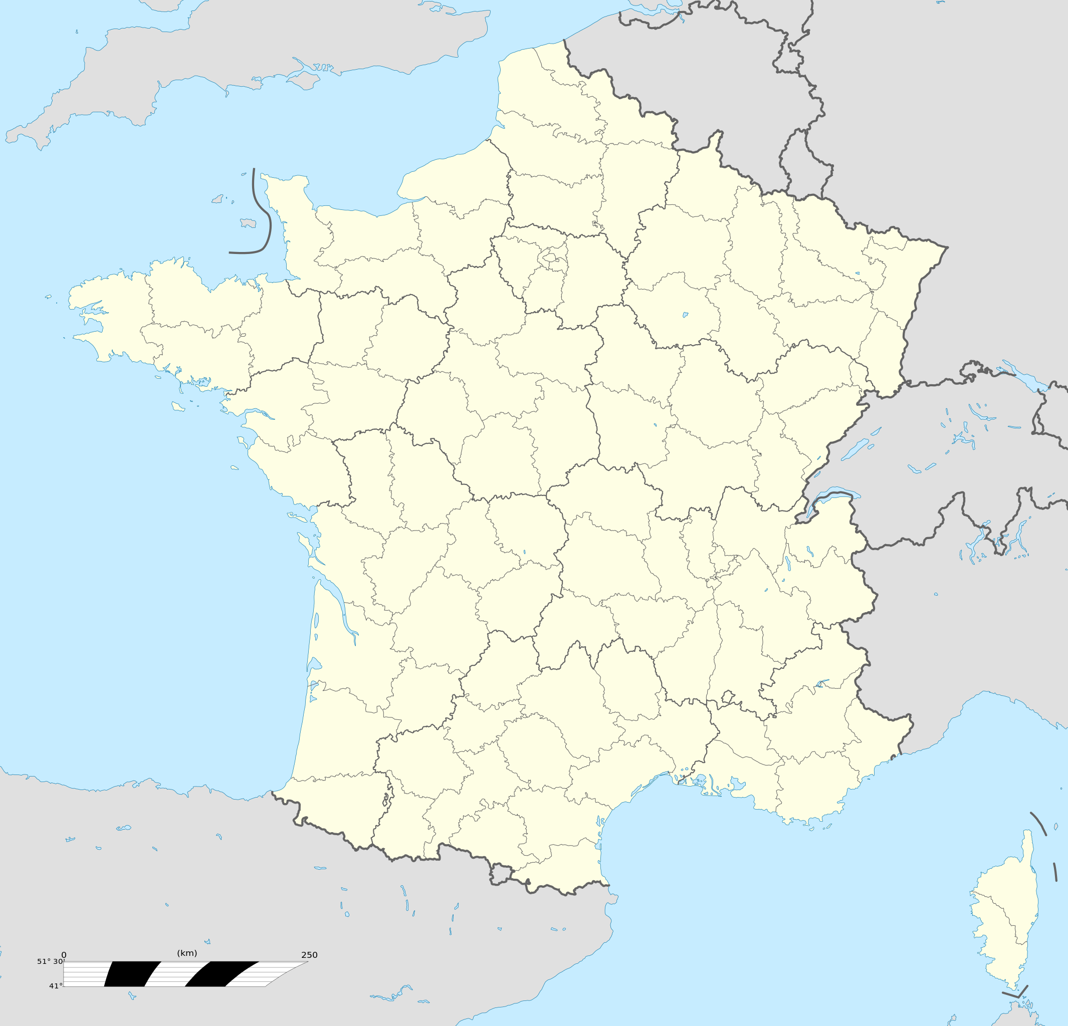
Français : Carte administrative vierge de la France destinée à la géolocalisation, avec régions et départements distingués.
Échelle approximative : 1:3 000 000
English: Blank administrative map of France for geo-location purpose, with regions and departements distinguished.
Approximate scale : 1:3,000,000
Projection équirectangulaire, données WGS84
Limites géographiques de la carte :
|
| तारीख | |
| स्रोत |
This file was derived from: France location map-Regions and departements-2015.svg |
| लेखक | Superbenjamin |
| Other versions |
|
| SVG genesis | This locator map was created with Adobe Illustrator, and with Inkscape. This locator map uses embedded text/digits. |

लाइसेंसिंग
I, the copyright holder of this work, hereby publish it under the following license:
This file is licensed under the Creative Commons Attribution-Share Alike 4.0 International license.
- आप फ्री बानी:
- साझा करे खातिर – रचना के नकल करे, बाँटे आ दुसरी जगह भेजे खातिर
- रीमिक्स करे खातिर – काम के अपनी हिसाब से बनावे खातिर
- नीचे दिहल कारणन की तहत:
- एट्रीब्यूशन – लाइसेंस के कड़ी दे के उचित श्रेय (क्रेडिट) दिहल जरूरी बा आ अगर कौनों बदलाव कइल गइल बा तब ओहू के बतावल जाए के चाहीं। आप ई काम कौनों उचित तरीका से क सकत बानी, बाकी ई न झलके के चाहीं की जेकरा लगे लाइसेंस बा ऊ राउर चाहे राउर काम के समर्थन करत बाटे या सही बतावत बा।
- शेयर अलाइक (share alike) – अगर आप एह सामग्री के आधार बना के कुछ रिमिक्स करत बानी, रूप बदलाव करत बानी, चाहे कुछ जोड़ के सामग्री के बढ़ावत बानी, आपके आपन योगदान ठीक एही या कंपेटिबल लाइसेंस जइसन कि ओरिजनल बाटे, के तहत होखे के चाहीं।
फाइल के इतिहास
ओ समय ई फाइल कइसन लउके ई देखे खातिर कौनों तारीख/समय पर क्लिक करीं।
| तारीख/समय | चिप्पी रूप | डाइमेंशन | प्रयोगकर्ता | टिप्पणी | |
|---|---|---|---|---|---|
| वर्तमान | 13:46, 19 अक्टूबर 2017 | | 2,000 × 1,922 (551 KB) | Sting | No borders over the Lake of Constance |
| 09:11, 2 जनवरी 2016 |  | 2,000 × 1,922 (546 KB) | Superbenjamin | User created page with UploadWizard |
फाइल के उपयोग
फाइल के इस्तेमाल 5 पन्ना करत बाड़ें:
बैस्विक फाइल उपयोग
नीचे दिहल अउरी विकिसभ पर एह फाइल के इस्तेमाल हो रहल बा:
- af.wikipedia.org पर इस्तेमाल
- Rugbywêreldbeker 1999
- Mont-Saint-Michel
- Quimperlé
- Dinard
- Camembert (dorp)
- Dives-sur-Mer
- Deauville
- Crécy-en-Ponthieu
- Cannes
- Villeneuve-d'Ascq
- Antibes
- Menton
- Lascaux
- Rennes-le-Château
- Aigues-Mortes
- Cluny
- La Grande-Motte
- Grasse
- Avranches
- Saint-Jean-Cap-Ferrat
- Honfleur
- Monte Carlo
- Villefranche-sur-Saône
- Arles
- Saint-Dié-des-Vosges
- Vannes
- Pontivy
- Cassis
- Neuf-Brisach
- Val Thorens
- Indre
- Neuilly-sur-Seine
- Nanterre
- Millau
- Chamonix-Mont-Blanc
- Gourdon (Alpes-Maritimes)
- Le Faou
- La Roque-Gageac
- Riquewihr
- Locronan
- Eus
- Châteauneuf-du-Pape
- Arcachon
- Saint-Jean-de-Luz
- Apt (Vaucluse)
- Auray
- Nancy
- Rugbywêreldbeker 2007
- Lens, Pas-de-Calais
- Mont Ventoux
एह फाइल के अउरी बैस्विक इस्तेमाल देखीं